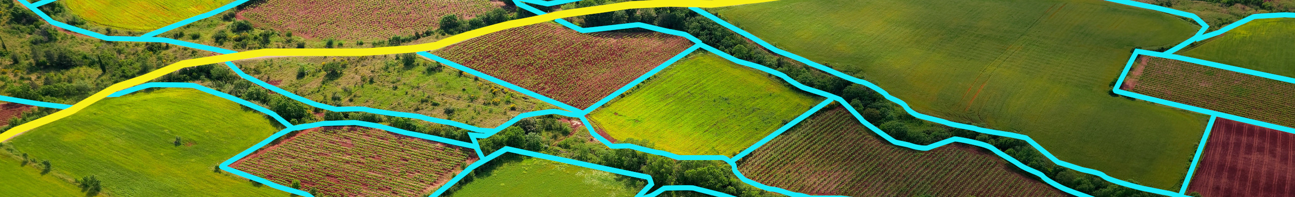

While land cover corresponds to the biophysical description of the earth's surface (such as artificial, woody or grassy surfaces, bare soil or water surfaces), land use describes the socio-economic functional dimension of land (residential or commercial use, farming or forestry). Contrary to land cover (which can be mapped from earth observation data), land use is more difficult to directly observe from above. Distinctions between land use and land cover and their definition have impacts on the development of classification systems, data collection and information systems in general.
Land management is the process of managing the use and development of land resources (i.e., our shared natural capital) and is therefore fundamental for sustainable resource use and delivery of ecosystem services. Land use modifies the quality and quantity of those ecosystem services. Unsustainable agricultural and forestry practices, urban expansion and climate change are the main drivers of land degradation. Land take by the expansion of residential, industrial/commercial and construction areas and the associated sealing of surfaces is the main cause for the increase in the coverage of urban land at European level. Agricultural zones and, to a lesser extent, forests and semi-natural and natural areas are disappearing in favour of the development of artificial surfaces. This affects biodiversity since it decreases habitats, the living space of a number of species, and fragments the landscapes that support and connect them. Land take and soil sealing further decrease the availability of valuable soil functions (e.g., biomass and raw material provision, storing and filtering of substances, or acting as biodiversity pool).

Reliable information on the extent and dynamics of land cover changes, i.e., land accounting, is a primary requirement for a range of environmental policies, such as the various policies which are part of the European Green Deal, e.g., the EU Biodiversity Strategy 2030, the proposal for the 8th Environmental Action Programme, the new EU Strategy on Adaptation to Climate Change or the Common Agricultural Policy. space4environment is deeply involved in land cover and land use mapping, land accounting, land resource use efficiency and land degradation both on the European as well the national level.